Times They Air a’Changin’
by Jim Barrett
“Times they air a’changin’. Hit’s a pity. Pity,” lamented Doug Mahnkey back in 1954. He was leaning on his cane, watching the ancient valley of the White River fill with then-crystal-clear, two-hundred-feet-deep water, thus forming Table Rock Lake.
The same lament could have been voiced when railroads first came to the Ozarks at the turn of the last century. Or when Henry Rowe Schoolcraft explored these mountains in 1819, published his findings, and caused an influx of white settlers to exploit the wilderness for minerals and furs. In far more recent times, the entertainment building boom struck Branson, forever changing a sleepy little town and creating — in Highway 76 — the “longest parking lot in the world.”
Harold Bell Wright, in 1903, author of Shepherd of the Hills, listened to the thunder of dynamite down in Roark Creek Hollow and knew the railroads would change this laconic mountain land of simple hill people. Wright, soon-to-be-famous with the publication of Shepherd, knew the outside world well and was saddened at the change.
Little did he know his book would do more to change the Ozarks than the railroads.
Many well-meaning mountain folk did everything they could to stop the creation of Table Rock Lake, as well as Beaver Lake, Lake Taneycomo, and Bull Shoals Lake. They hated the loss of the river-bottom farm lands, feared the coming of land speculators, the inundation of cemeteries, schools, homes and beloved fishing spots. In the threat of a monster lake, the hill folk saw an end to their way of life.
However, the land’s future was inevitable, not only in the Ozarks, but across America. Dynamic change! It made our country the envy of the 20th century. But progress is quite often a steam roller. The Native Americans learned that lesson to their sorrow and our nation’s great loss. And so did the resisting hillbillies of the Ozarks. The dams were built despite the people’s anger and fear.
The simple ways of their hills changed forever.
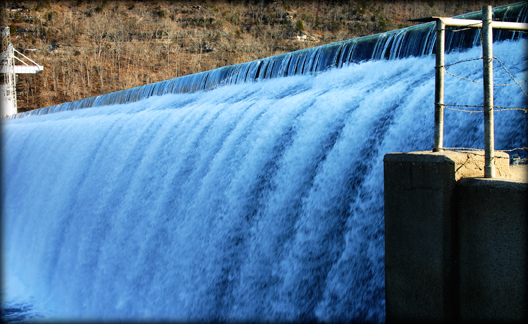
The first lake was Taneycomo, named by combining the words “Taney,” “County,” and “Missouri.” Forsyth was chosen as the dam end, Branson as the lakeside shore town. Powersite Dam was built in 1913, not by the federal government but by speculators planning to bring electrical power to the mountain communities. By modern standards, Powersite Dam is a small, simple dam, but it was a monster to the White River communities that would lose property to the rising waters.
This conglomerate of investors was the first financial giant to invade our part of the Ozarks. Powersite Dam and Lake Taneycomo were its twin children. The third was a series of great steel towers, laced with miles of high-tension power lines straddling hilltops and clearing hundreds of acres of wilderness down to the mountains’ bones.
It was the first of many invasions.
By 1917, Taneycomo was a fisherman’s paradise, spawning tourist attractions and resorts along its banks, including Camp Perfecto, Ozark Beach, Rockaway Beach, Kuggaho Camp, and the Sammy Lane and Shepherd of the Hills boat lines.
Electric lights lit up the dark Ozark night, cash flowed in from fisher folk and a multitude of tourists, and permanent work became available at resorts and restaurants, making the communities’ fear and anger seem petty, even foolish. Nevertheless, some who had lost their river bottom lands still resented the lake and all it brought with it.
And yet the mighty White River was not about to be tamed by the puny dam at Powersite. Floods continued to thunder down the mountain valley. Bridges were pulled apart, towns flooded, farms and animals disappeared, even grave sites vanished before the power of the rolling waters. “Civilization” had come to the Ozarks but it was in danger of being washed away.
Pressure mounted to control the White River once and for all.
The original conglomerate of speculators, happy with the success of Lake Taneycomo, dreamed of building a much larger lake to generate vast amounts of electricity. In the 1920s, serious planning began: the dam would be above Taneycomo and would make Powersite Dam look like a toy in comparison. The scope of the project, however, continued to cause delays, and in 1929, the collapse of the markets brought the speculators’ dreams to an end.
The US Army Corps of Engineers took up the initial idea of a larger dam on the White River but World War II delayed plans for nearly a decade. By 1947 the Corps was given the nod to begin a series of projects to control the White River. Bull Shoals Lake was created in 1951. With more than a thousand miles of shoreline, Bull Shoals could retain nearly six-million acre-feet of flood water and, in letting that water out in a controlled fashion, generate 361,000,000 watts of valuable electricity.
In 1958, Table Rock Dam, a longtime dream of Senator Dewey Short, was completed and closed, forming the largest of the White River Lakes. Opposition had built to a fever pitch during the dam’s construction and there were even working plans to float a huge dynamite-laden raft downriver by night and blast the hated structure to flinders.
Then, in 1966, Beaver Lake in Arkansas — the last in the Corps’ chain of flood-control lakes — was finished, taming the White River once and for all. The farms were gone. The cemeteries moved to high ground. The grand and exciting float trips a thing of the past. Fishing holes beneath great willows were lost, along with creaking iron bridges, sand bars, freshwater oyster beds, the joyous shouting of swimmers on the river.
As Table Rock Lake began to fill, a saddened Jim Owens, long-time float fisherman and nationally known river guide, sent out funeral announcement style postcards, telling of the death of a river and a way of life.
After 1958, it was a different world in the Ozarks. The finances of business and tourism called the shots. Dirt roads were paved. Bridges were built of steel and concrete, not iron and wood. Branson became citified while Forsyth was moved to the mountain top. Taneycomo was far too cold to swim in anymore. Banks ceased to rate all Ozark land as being work a meager $50 per acre.
“Times they air a’changin’. Hit’s a pity. Pity.” Perhaps the venerable attorney, writer and Taney County native Doug Mahnkey was right after all.
February 4, 2014
plate 1. Powersite Dam.
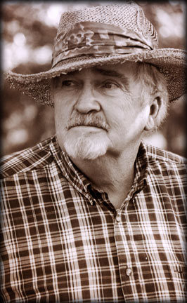
plate 2. Jim Barrett.
James F. (Jim) Barrett has lived in the Kimberling City / Springfield area of the Missouri Ozarks for about 50 years. A graduate engineer and a master builder, Jim built many hundreds of local structures. Jim is also an avid Ozarks historian and writer. He has authored nearly a thousand articles for newspapers and magazines as well as five books now in public libraries.
He is past-president of the Missouri Writers Guild, is a member of the Ozark Writer’s League in past years, and has spoken across the Midwest on behalf of the Missouri Humanities Council’s Speakers Bureau.
Jim also taught educational classes on Ozark history at the GTC Community Education Center, owned his own theater in Kimberling City where he presented historical speeches, dramas and traditional music. He established the Wilderness Road of the Ozarks Foundation, a non-profit historical preservation group and sponsored several Wilderness Road Festivals.
Over the years of research, Jim has created a very large library and collection of Ozarks historical books, maps, documents, thousands of photos and more, all of which will be donated to the Stone County Library in Galena, Missouri.
He is happily married to Vicki Lee Barret. Vicki’s family, the Sherers, came to the Ozarks in 1962 and built Kimberling City’s popular Hillbilly Bowl, now operated by her oldest son and her grandsons.
From Joshua Heston:
Jim Barrett, celebrated author, historian and businessman, has dedicated much of his life to preserving Ozark culture. His writings have been read by untold numbers of folks and it is with great appreciation that StateoftheOzarks has been granted the right to republish Jim’s most popular articles.
— December 26, 2013
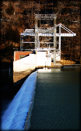
plate 3. Powersite Dam.
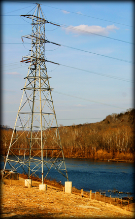
plate 4. Power lines near Forsyth.
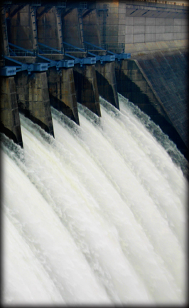
plate 5. Table Rock Dam.
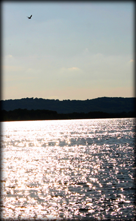
plate 6. Table Rock Lake.
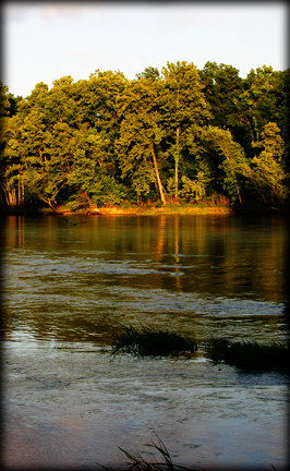
plate 7. Lake Taneycomo.
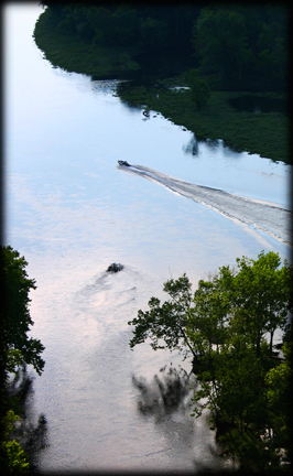
plate 8. Lake Taneycomo, below Point Lookout.
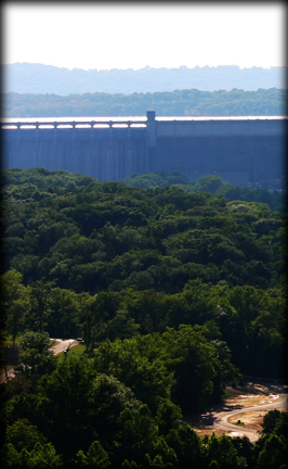
plate 9. Table Rock Dam.
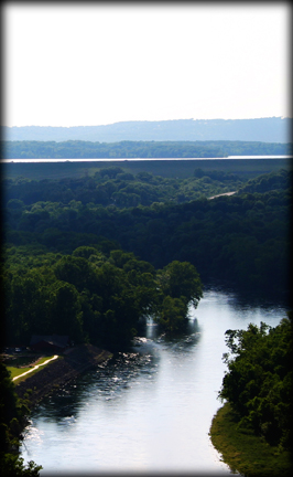
plate 10. Lake Taneycomo (foreground) and Table Rock Lake (background).
